ESA Incubed IcySea — A progressive web app to support navigation in Polar Regions from space
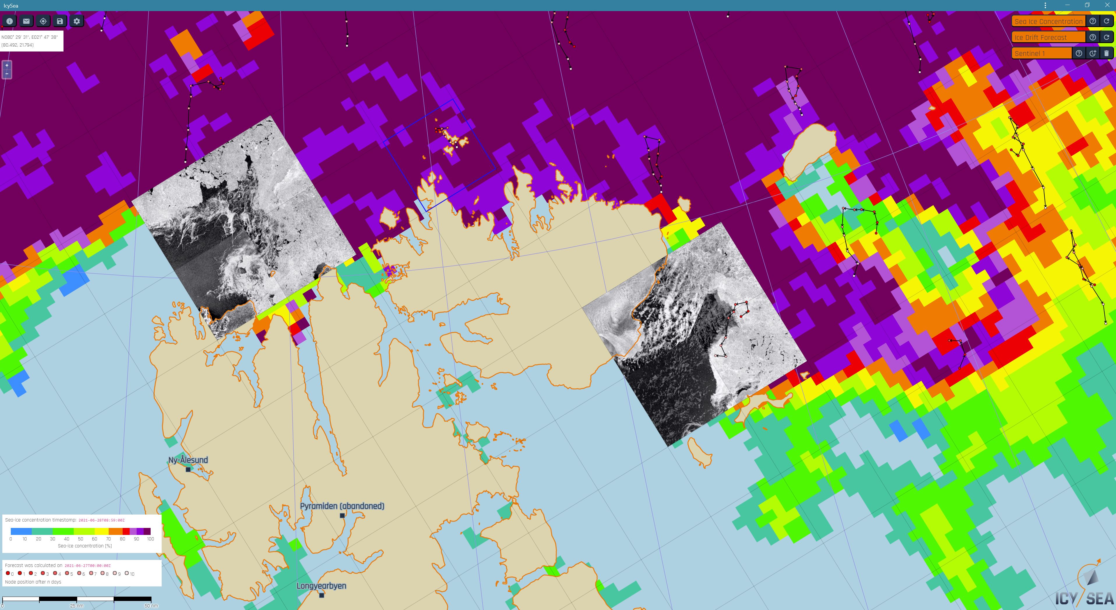
IcySea is a map-based application designed to display and deliver ice relevant information for operational purposes in the polar regions. It is addressed to national and local authorities, as well as to commercial and non-commercial users (for example: tourism, fisheries, research, offshore, and surveying vessels).
With the end of the project the IcySea app can be considered a digital one-stop shop delivering 24/7 global ice information in near-real-time via low bandwidth connections to users in polar regions.
We achieved the goal to have a competitive IcySea running on a critical number of ice-going ships by the end of 2023. A subscription-based SaaS business model ensures financing of the continuous development cycle behind IcySea which turns it into a sustainable and financially independent service.
Please find more detailed information on e.g. offered sea-ice data products or covered regions at the IcySea product website.